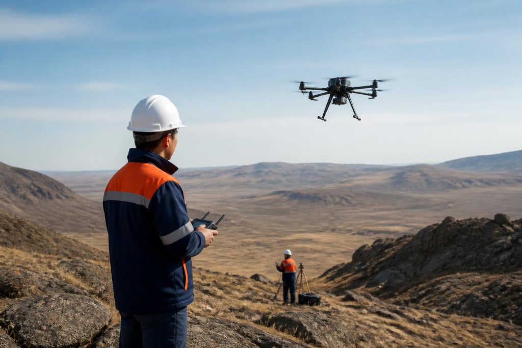
The national mining company Tau-Ken Samruk has initiated the use of drone technology for state geological exploration in Kazakhstan’s Ulytau region. This project, which is part of a larger initiative by the Ministry of Industry and Infrastructure Development, aims to cover approximately 50,000 square kilometres with airborne geophysical studies. Currently, the company Kazgeologia is conducting these studies, as reported by the press service of the Samruk-Kazyna fund.
The drones, equipped with geophysical sensors, are capable of conducting simultaneous magnetic, gamma-spectrometric, and gravimetric surveys. The measurement system includes devices from Medusa Radiometrics (Netherlands) for spectrometry, Geometrics (USA) for magnetometry, and iMAR Navigation (Germany) for inertial navigation. The positioning accuracy claimed is within a few centimetres, facilitated by RTK navigation technology combined with lidar systems that adjust flight trajectories, enabling the drones to operate effectively in complex terrain.
Data processing at low altitudes provides sufficient resolution to detect small geological anomalies that might not be visible through traditional aerial surveys. This project aligns with a broader goal set by the Ministry of Industry and Infrastructure Development of Kazakhstan, which aims to conduct detailed geological mapping of the entire country at a scale of 1:50,000 by the end of 2026. To achieve this, modern technologies, including drone systems, will be integrated into the geological survey processes.
In 2026, Kazakhstan allocated over 40.7 billion tenge from the government reserve to launch 20 geological survey projects at the 1:50,000 scale. The total area to be explored is around 100,000 square kilometres, with geological exploration expected to conclude by the end of 2028. This initiative is a significant step towards enhancing the country’s geological data and resource management, showcasing the integration of advanced technology in the mining sector.