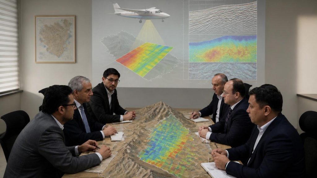
Xcalibur Smart Mapping is set to undertake a significant airborne geophysical mapping programme in Uzbekistan, in collaboration with Uzbek Geological Exploration JSC. This initiative, scheduled to commence in December 2026 under the National Airborne Geophysics Programme, aims to cover approximately 20% of Uzbekistan’s territory, specifically the Central Kyzylkum study area, which spans around 80,000 square kilometres. The project is designed to bolster the country’s geological knowledge and support the development of its mineral sector by providing high-resolution airborne geophysical data.
The programme will integrate various advanced technologies, including airborne geophysics, remote sensing, and artificial intelligence-assisted analysis, to transform geoscientific data into actionable information. This will enable public institutions and potential investors to assess exploration opportunities more effectively, prioritise further investigations, and make informed decisions regarding mineral exploration.
Operations for the project are already underway, with eight aircraft currently mobilised in the Democratic Republic of the Congo (DRC), and up to twelve expected to be operational at peak activity. The geophysical data acquisition will employ a range of methods, including magnetic, radiometric, gravity, and electromagnetic surveys, to enhance understanding of subsurface geological structures and identify areas with mineral potential.
This initiative marks a pioneering effort in Central Asia, representing a substantial investment in modern geoscientific mapping techniques. The data collected will not only support geological interpretation but also help pinpoint prospective areas for further exploration. Notably, some of the technologies employed will be used for the first time in a regional airborne mapping programme in Central Asia.
Xcalibur Smart Mapping has previously implemented these technologies in various projects across multiple countries, including the United States, Australia, and Saudi Arabia. The project will also focus on building a robust digital data infrastructure and integrating legacy datasets, ensuring that the information gathered is effectively utilised for exploration and resource planning.
Andrés Blanco, CEO of Xcalibur Smart Mapping, emphasised the importance of transforming Earth intelligence into better decision-making processes. He stated that the project aims to enable Uzbekistan to leverage its mineral potential into viable exploration and investment opportunities. The initiative will also include a comprehensive training programme to ensure that local teams can effectively utilise the data and insights generated.
Alimov Shamsiddin Paxritdinovich, Chairman of the Board of Uzbek Geological Exploration JSC, highlighted the project’s alignment with the Ministry of Mining and Geology’s priorities to enhance the country’s mineral resource potential through modern technologies. He expressed confidence that the collaboration with Xcalibur Smart Mapping will establish a solid foundation for future investment projects in Uzbekistan’s mineral sector.