Tag: BGS

  • Digitisation of Historic Mineral Exploration Reports Boosts UK Mining Potential

    Digitisation of Historic Mineral Exploration Reports Boosts UK Mining Potential

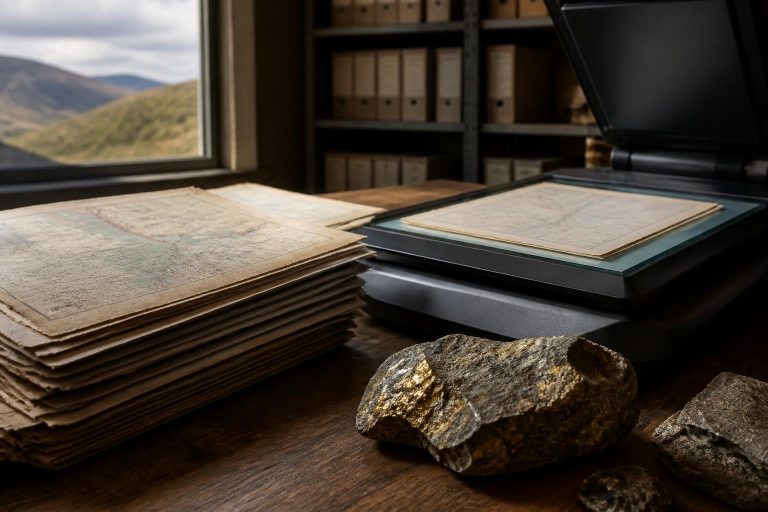
    The Mineral Exploration and Investment Grants Act 1972 (MEIGA) has historically stimulated mineral exploration in the UK by providing grants for non-ferrous metals, fluorspar, barium minerals, and potash through the Government’s Department of Trade and Industry. Reports compiled during the 1970s and 1980s contain a wealth of information, including geological mapping, soil and stream sediment geochemistry, geophysical surveys, drillcore logs, and assay data. Until recently, these reports were only accessible in hard copy through the British Geological Survey’s (BGS) National Geoscience Data Centre (NGDC).

    In 2023, a digitisation programme, in collaboration with the UK Critical Minerals Intelligence Centre (CMIC), released an initial batch of over 200 mineral exploration reports. The ongoing digitisation efforts have now added an additional 660 reports to the accessible collection, making data collected over forty years ago relevant for identifying critical and precious metal resource potential within the UK. This initiative is particularly significant for the Ardlochan area in south-west Scotland, where Western Gold Exploration completed a shallow drilling programme at the end of 2025, discovering a large breccia pipe system rich in gold. The company utilised MEIGA materials generated by Noranda Mining Limited and Phelps Dodge in the 1970s to complement their own surveys and target other areas of interest.

    The MEIGA dataset is proving crucial in refining exploration targets, especially those associated with gold-rich porphyry-breccia systems. The historical reports provide insights into exploration concepts and decision-making processes used by major operators decades ago, allowing for a more confident reconstruction of Ardlochan’s geological story. By integrating these historic insights with modern techniques, companies can accelerate target development and reduce the uncertainty and costs associated with exploration.

    The digitisation of BGS archive documents represents a significant effort to valorise legacy datasets, which can greatly impact the exploration sector at minimal cost. The BGS, through CMIC and the NGDC, aims to enhance accessibility to these documents by employing machine learning methods for data extraction and developing large language models for personalised interactions with the archives. The renewed impact of the MEIGA archive underscores the importance of long-term stewardship of geoscience data, ensuring that historic materials can inform modern exploration efforts and unlock new scientific and economic opportunities. The success seen at Ardlochan exemplifies how well-curated archives can facilitate contemporary discoveries, proving that the past can indeed inform the future of mineral exploration in the UK.


  • BGS Enhances International Collaboration with Icelandic Research Institutions

    BGS Enhances International Collaboration with Icelandic Research Institutions

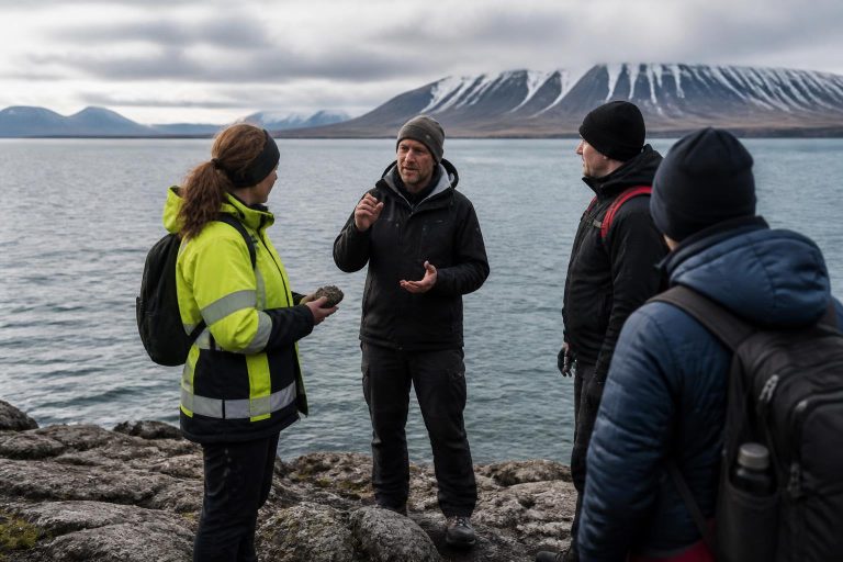
    Researchers from the British Geological Survey (BGS) recently embarked on a three-day visit to Iceland, aimed at fostering international partnerships and exploring future collaborative research opportunities under the Research and Innovation Scotland (RIS) initiative. The visit brought together experts from various fields, including marine geoscience, volcanology, geological hazards, geothermal energy, carbon storage, and offshore infrastructure, collaborating with prominent Icelandic organisations such as Iceland GeoSurvey (ÍSOR), the Icelandic Meteorological Office (IMO), and the University of Iceland.

    The initiative stemmed from discussions between BGS scientists at the Lyell Centre and Professor Eric Bréard from the University of Edinburgh, focusing on leveraging Iceland’s unique geological features and its renowned expertise in active volcanic and geothermal systems. A primary goal of the RIS-funded project was to strengthen connections between Scottish researchers and their Icelandic counterparts, facilitating knowledge exchange and the identification of future research collaborations.

    During the visit, participants engaged in workshops, field visits, and technical discussions, which provided a platform for developing new relationships and sharing insights. A workshop hosted by ÍSOR featured presentations on marine geophysical surveying, geological hazards, volcanology, and carbon storage, highlighting the potential for combining Icelandic marine geophysical capabilities with BGS’s expertise in geological interpretation and hazard assessment.

    Field trips to the Reykjanes Peninsula allowed researchers to observe recent volcanic activity and discuss how geological data can enhance understanding of hazards affecting local communities and infrastructure. Additionally, the delegation visited Carbfix facilities to learn about Iceland’s innovative carbon mineralisation technology, discussing future opportunities for collaboration in carbon storage and subsurface characterisation relevant to developments in Scotland and the UK.

    The visit culminated in the identification of several collaborative opportunities across various domains, including marine geoscience, offshore hazard mapping, and geological characterisation of the Icelandic shelf. This project was facilitated by BGS’s membership in the Scottish Alliance for Geoscience, Environment and Society (SAGES), which promotes collaboration across environmental sciences and supports the development of international partnerships.

    Overall, the visit underscored the importance of international collaboration, highlighting how Iceland’s strengths in geological sciences can complement BGS’s experience in offshore mapping and decision-support products to address shared scientific and societal challenges.