
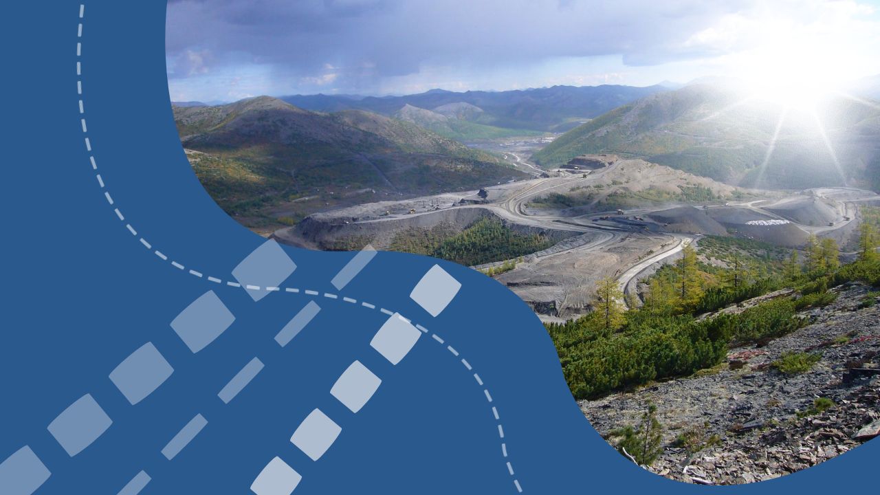
At a recent briefing held by the Agency for Information and Mass Communications, N. Dulabova, Head of Department at the Ministry of Mining Industry and Geology of Uzbekistan, detailed the country’s accelerating efforts in geological exploration and mineral resource mapping.
In 2024, digital geological maps were completed for 75,000 square kilometers in southern Uzbekistan at a 1:200,000 scale. In parallel, comprehensive space-geological and geochemical surveys were carried out over 6,000 square kilometers, including key areas such as the Molguzar and Gissar ranges. Updated tectonic-structural schemes and multipurpose geochemical maps were also developed for these regions.
Furthermore, detailed re-mapping at a 1:50,000 scale was conducted over a 3,500-square-kilometer mountainous zone encompassing the Auminzatau, Beltau, Tamdytau, Aristantau, Sangruntau, Yakkabag, Gissar, and Kulzhuktau ranges. As a result, 42 promising mineral zones were identified, spanning eight types of valuable resources.
In 2025, under the framework of the State Geological Program, work is being carried out on 154 geological exploration projects. By the end of the year, Uzbekistan aims to finalize a complete set of national digital geological maps at a 1:200,000 scale and complete space-geological and geochemical research across an additional 3,000 square kilometers.
These efforts aim to enhance the country’s strategic understanding of its subsoil wealth and unlock new investment opportunities across various segments of the mining industry.